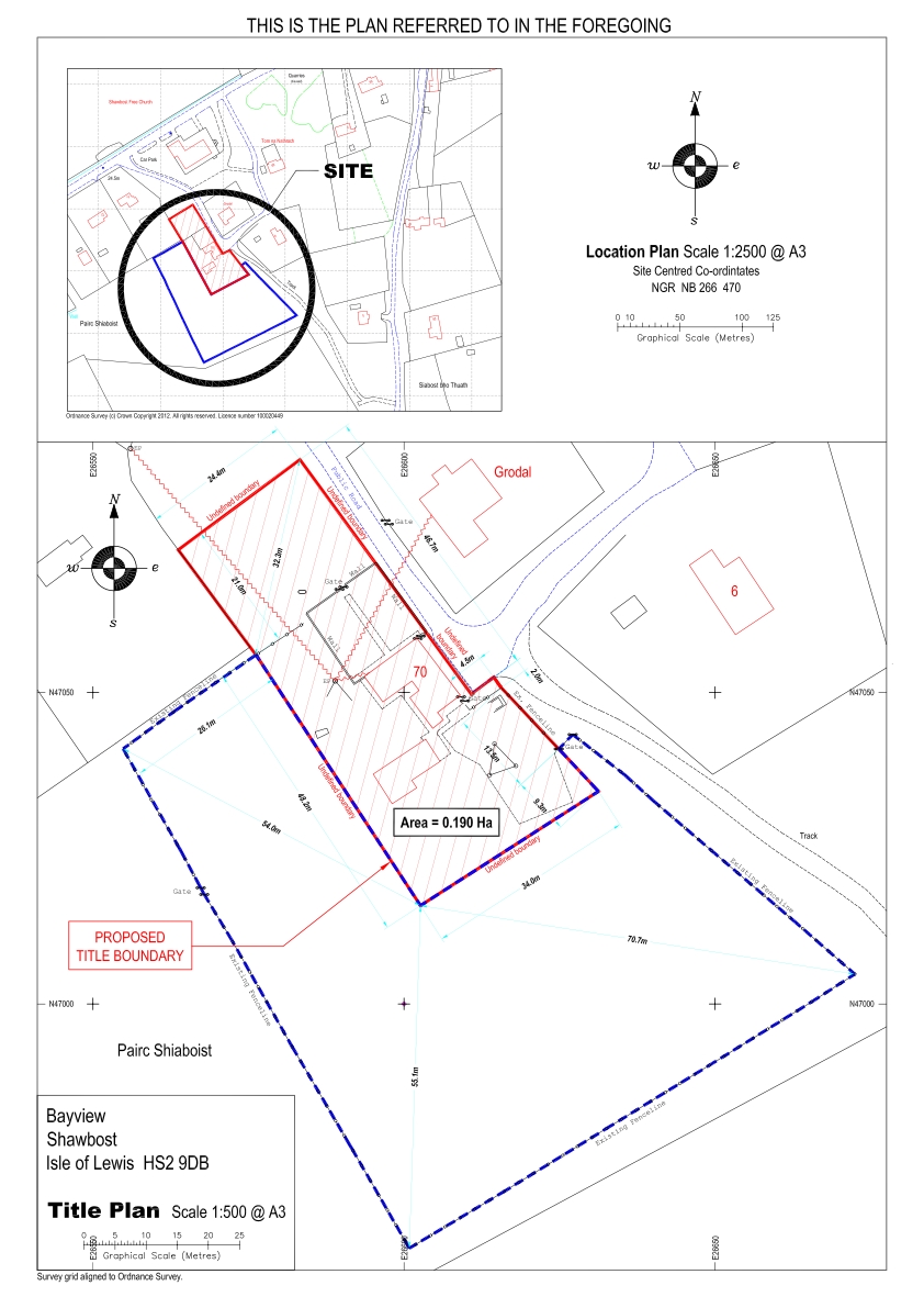
Maciver Consultancy Services Ltd is able to prepare detailed title plans that meet the requirements of statutory bodies such as the Crofter’s Commission. This involves an accurate measurement of existing features using total station surveying equipment and plotting the land  measurements in a digitised format using AutoCAD LT. In addition existing land title can be accurately located where original fencelines and features have been removed.
The information generated by the initial topographical survey can also be used to help in the preparation of site plans for new houses including sewer and water connections.
